From Mondaino to Casavalmala and return
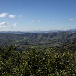
Mondaino, Casa Valmala, ring, trekking, walking, itinerary, riviera, rimini. A short route that from the historic town center of Mondaino, the celebrated Malatesta castle in a dominant position among the valleys of the Conca, Tavollo and Foglia, descends into the Valmala. Casa Valmala, or rather the ruins of it, is the point of arrival. Go back up the ditch to reach Pian Martuccio then the provincial road to Mondaino, closing a circular route on the right slope.
CAI (Italian Alpine Club) number 051
CAI signs: white/red signs along the route
length 5.1km
time needed to travel it: 1 hour and 20 minutes
altitude: +185 +396 mt.
drop/rise: -211 +211 mt
hiking difficulty
Mondaino Piazza Maggiore
after parking at the base of the walls of the town hall, go through the town gate and arrive at Piazza Maggiore; from the square, take Via Secondaria Ponente and when you are almost at the end of the street (and the town), turn right downhill to leave the circular part of the city by crossing a wooden gate – you then merge into via Fonte Leali - turn left in a Southern / Western direction until you reach the asphalted SP no. 64 road
SP no. 64 road
follow it up to the bend below where the entrance to the Arboretum is located on the right
Entrance to the Arboretum
continue downhill (SP no. 64 road) and ignoring a small road on the left, you reach a crossroads to the side of which there is a small cubicle that is quite visible
Crossroads with a small niche
Turn left onto a dirt road that gently goes uphill, and then descend along a stretch that at first slopes slightly downward and then precipitously downwards to the ruins of Casa Valmala
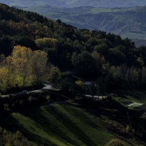
Casa Valmala
Continue on leaving the ruins on the right and going along a path that is a bit hidden along the edge of a cultivated field, downhill, you arrive at the Mondaino pit
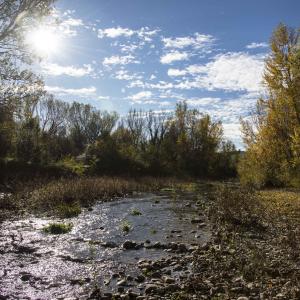
Mondaino Pit
Once you have reached the pit, go northwards until you reach a plantation of trees and then on to an open field used for pasture or for alfalfa-growing; from this point, since there is no well-defined trail, it is necessary to cross the field in a westward direction taking as a reference point the tip of the bell tower of Mondaino that can be seen in the background - this leads to a grove of downy oaks - skirt the grove, leaving it on the right, and go on until you reach a farm road - turning right towards the north/northeast you will soon reach the uninhabited farmhouse of Pian Martuccio
Pian Martuccio
From here continue on along a well-defined uphill road and after 100 mt. you come to a crossroads
Crossroads
Turn left and after a short stretch you merge into another small road which in turn joins the asphalt SP no. 64 road
Junction with SP no. 64 road
From this point, turning to the right, you retrace your steps along the road you have already traveled on in the opposite direction - thus returning to the entrance to the Arboretum
Entrance to the Arboretum
Continue on along the SP no. 64 road and, after a hairpin bend, you arrive at a crossroads - take Via Delle Maioliche to turn, after 100 mt., to the right - a short stretch and you will find yourself in Via Secondaria Ponente - to change the outward route, go along it in a southerly direction until you enter Via Roma at the end of the town
Via Roma
Turn left and go past the church of St. Michael to reach Piazza Maggiore, the starting and ending point
Mondaino Piazza Maggiore
You come back to the gate to the town where you can then reach the parking lot
Taken from Sentieri, Rimini trails through nature and history. Department of the Environment and Policies for Sustainable Development. In collaboration with CAI (Italian Alpine Club) and WWF Rimini.


